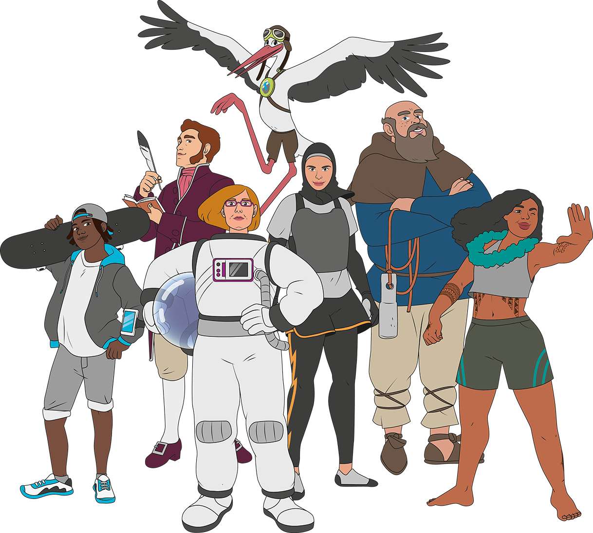
We are the Navigation Team and we will guide you through the exhibition. To navigate, you must answer four questions: Where are you? Where is your destination? How do you reach the destination? How do you describe the way to the destination? Together, we will solve these questions at the game stations. And we have plenty of tips and tricks for you.
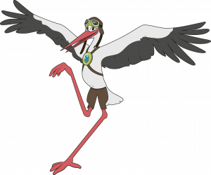
Clatter-clatter, I‘m Rufus! I always know exactly which way to go. Why? Because I have my own compass in my head. Do you know all the cardinal directions? I‘ll show you how a compass works. Then you‘ll know too!
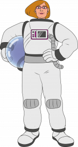
Hello, I‘m Sabine! Our Earth is beautiful! From space, it looks like a blue marble. I absolutely wanted to see it with my own eyes. That‘s why I became an astronaut. Did you know that our Earth is surrounded by an invisible grid? I‘ll tell you how it works!
Greetings, they call me Ansgar! I steer my ship safely across the sea. That‘s my job as a helmsman. During the journey, I closely observe the sky, the sea, and the coast. My instruments help me with that. Do you want to try it too? Then let‘s sail to the next port!
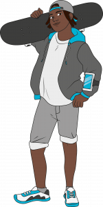
Hey, I‘m Chris! No one knows the city as well as I do. Whether by bus, subway, or train – I can find the fastest way! Take a look at where I need to go now. Then we can start together!
Ahoy, I‘m Ayla! I‘ve always dreamed of sailing the world on my own! That‘s why I‘m particularly knowledgeable about old and modern navigation techniques. When I sail across the sea, I rely on my GPS. But I can also determine my position with a sextant. Do you want to know how to do that? I can show you!
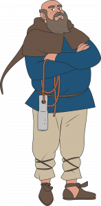
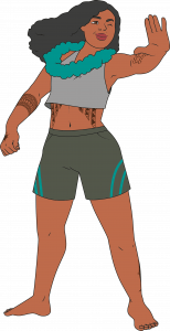
Yokwe, I‘m Malu! I call the Pacific Ocean my home. When I navigate, I observe the sky, water, and animals. As a little child, I learned how to read the signs of nature. Do you know how to tell where north is by looking at the stars? I‘ll show you how it‘s done!
Bonjour, I‘m Felix! I want to see the whole world! And I want to show all the wonderful and exciting places to others too. That‘s why I draw maps. On a map, I can depict everything: tall mountains, coastal landscapes, lakes and rivers. But also landmarks and lurking dangers. Do you want to know how to draw a map?
HOW DID A HANSE MERCHANT NAVIGATE?
In the Middle Ages, Hanseatic merchants traveled to distant cities in the Baltic and North Sea region in their cogs, which were cargo ships, to trade their goods. As they traveled, they used the landscape and the sky to guide them. This method is known as terrestrial navigation. They sailed close to the coast or on rivers. Landmarks helped them stay on course. They only crossed the open sea at night, when the polar star was a fixed point in the north. They recorded the landmarks and other important information in their sea books.
Browse through the digital sea book and see if you understand the sailing instructions. Find out what a landmark is, why rivers were so important to the Hanse merchants and how a stellar constellation can help you find the North Star.
WHAT ARE LANDMARKS?
Landmarks are prominent features in the landscape. They can be trees, cliffs, rocks, islands, rivers or buildings such as a lighthouse, church or hostel. Landmarks are the easiest way to find a particular route and describe it to others. The sailors of the Hanseatic League used landmarks to find the safe route on their trade routes along the North Sea, the Baltic coasts and overland. You can read how this worked in the digital sea book. And even today, we use landmarks almost every day to describe a route to someone.
Try it out for yourself: Grab a pen and draw your route to the museum on the map. Do you remember any landmarks along the way? Buildings, bridges, trees? Draw or write them on the map.
HOW DO YOU NAVIGATE THE RIVER?
As not every trading town is directly on the sea, river navigation is an important part of Hanseatic shipping. In the past, goods had to be transferred to smaller ships to reach the ports. This made it easier to navigate the narrow and shallow rivers. Sailors used the hand plumb line to check the information in their sea book. The hand plumb line gave information about the depth of the water and the bottom of the river. Today, even large ships can navigate rivers. The echo sounder and the fairway help them navigate. The echo sounder emits sound waves that give information about possible obstacles on the bottom and the depth of the water.
You can easily identify the fairway of the river in this video. The freighter travels from the mouth of the Trave to the port of Lübeck, always staying in the fairway to avoid stranding. Inside the fairway, the water is deep enough for even large cargo ships to reach the ports.
WHAT IS A SEA BOOK?
Sea books are the first navigational aid for sailors in north-west Europe. In these books they wrote all the sailing information that helped them navigate along the coasts and on rivers: Directions, water depth, seabed conditions, celestial observations and landmarks. Even when navigation with nautical charts became widespread, the sailors of the Hanseatic League continued to rely on their sea books. In 1578, for example, an envoy of the Spanish King Philip II complained about this – in his opinion – fearsome nature of navigation: „The Baltic Sea sailors had neither charts nor passports, but steered according to a small book.“
You can keep a small notebook yourself in which you write down striking places and landscapes to describe a route. Can a friend find the way with the help of your notes?
On the monitor, you have the opportunity to browse digitally through the sea book. Do you understand the information?